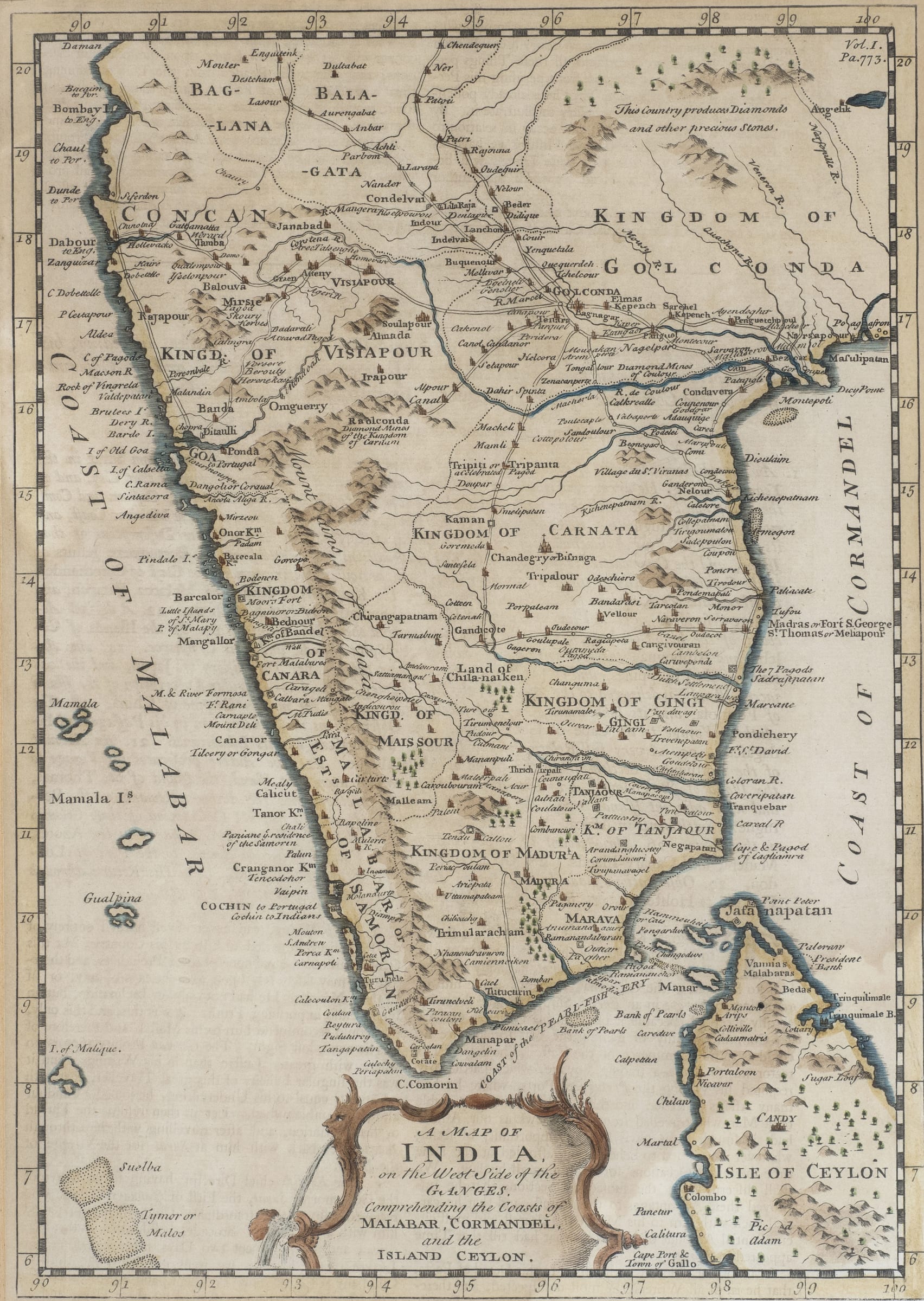
Emanuel Bowen
A Map of India on the West Side of the Ganges comprehending the Coasts of Malabar, Cormandel (sic.) and the Island Ceylon, Mid 18th century
Hand coloured engraving on paper
33.5 x 24 cm
13 1/4 x 9 1/2 in
13 1/4 x 9 1/2 in
1
of
51